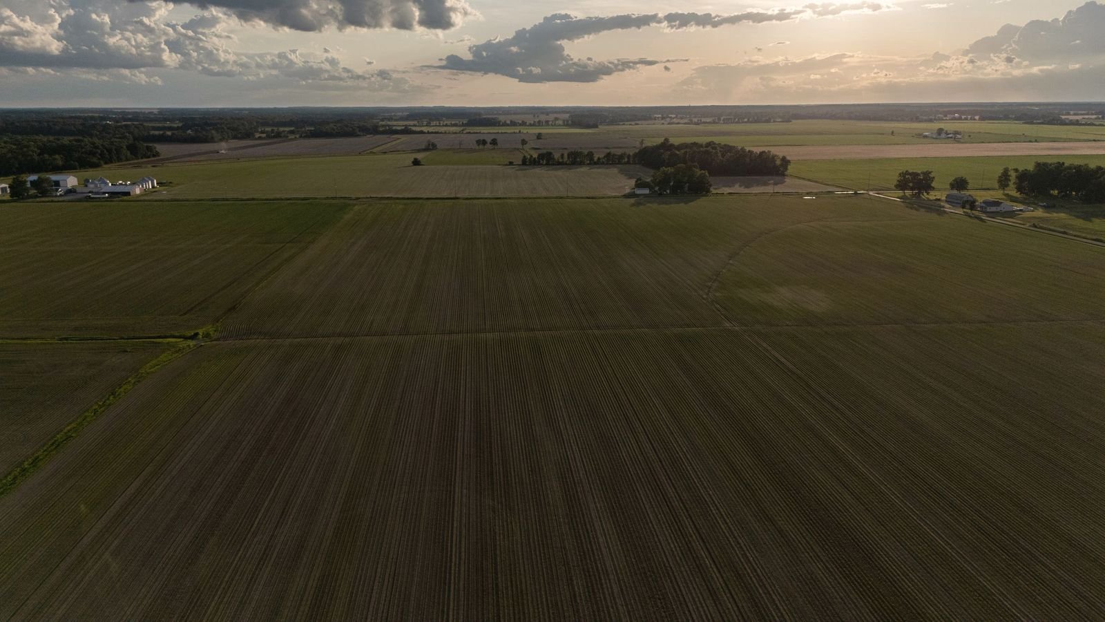
The home strip.
The airstrip at the company's FM 50 address, four miles south of Hearne, is carried by the FAA as facility 1TE5, activated in June 1964. Everything below is the FAA record, nothing more.
The record, line by line.
| Identifier | 1TE5 |
|---|---|
| Location | 4 miles south of Hearne, Texas |
| Runway | 14/32, 2,500 x 35 ft |
| Surface | 2,200 ft asphalt, 300 ft turf |
| Field elevation | 270 ft MSL (estimated) |
| Traffic pattern | Left, both ends |
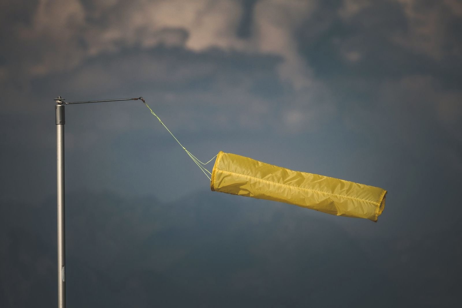
| Wind indicator | Yes; no segmented circle |
| CTAF | 122.9 |
| Attendance | Daylight hours |
| Use | Private; prior permission required |
| Runway lighting | Unpublished |
| Fuel | Unpublished |
| Activated | June 1964 |
For pilots: 1TE5 is a private facility. Permission is required before landing. No published instrument procedures.
Coming out to the strip?
Call first. It is a working private strip, and the schedule answers to the phone.